
Data 101
2D seismic is measured in linear kilometres and, after processing, provides a sectional illustration of geological formations on a straight line directly below the area where the data was acquired.
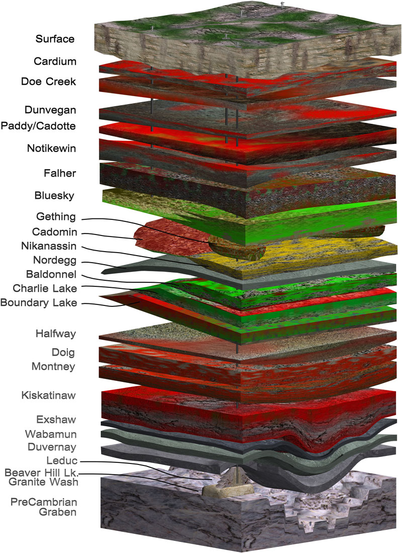
3D seismic is measured in square kilometres and is shot in grids, generating a three-dimensional image of the subsurface geology (see photo).


Once an industry with a large environmental bearing, today’s seismic operations use small, low-impact equipment, which has significantly reduced the environmental footprint.
Pulse has not collected seismic data through field acquisition since 2015. Instead, we have more than doubled the size of our data library through the acquisition of existing, high-quality data sets – providing our clients with the information they need for their exploration projects while reducing the environmental impact of new survey operations.
